Reader-supported: no affiliate links active yet — our rankings can't be bought. How we rank →
High Wind Warning Monday for I-25 and I-90 in Northeast Wyoming: Gusts to 60 MPH
On this page
If you are running northeast Wyoming on Monday, plan around the wind — not through it.
The National Weather Service in Riverton has issued a High Wind Warning for Northeast Johnson County from 3 a.m. to 3 p.m. MST on Monday, November 2. The forecast is north to northwest winds of 30 to 40 mph with gusts up to 60 mph.
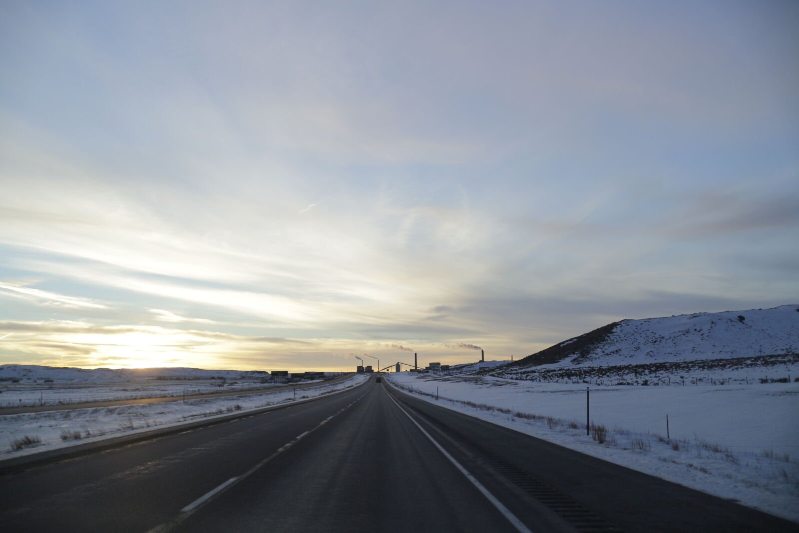
That is the Buffalo corner of the state, where Interstate 25 and Interstate 90 meet — and the Weather Service names both roads in the warning itself: “Travel could be difficult, especially for high profile vehicles, including Interstates 25 and 90.”
What happened
NWS Riverton issued the warning Sunday morning ahead of a Monday wind event. The warned area is Northeast Johnson County only — this is not a statewide warning — but the two Interstates that cross it are through-freight routes, so a local warning still lands on a lot of dispatch boards.
When it hits
The window is 3 a.m. to 3 p.m. Mountain Time Monday — 4 a.m. to 4 p.m. Central. The morning half of that window is the problem for anyone scheduled out of Casper, Buffalo, Sheridan or Gillette on a Monday run, and for through traffic connecting I-25 northbound to I-90 in either direction.
What to do
- Light or empty, think hardest. The warning is aimed at high-profile vehicles. An empty van or a light load catches the full side of a 60-mph gust.
- Use the edges of the window. If your appointment allows it, roll before 3 a.m. MST or hold until after 3 p.m. MST rather than crossing Johnson County at midday.
- Check before you roll. The NWS alert announces no closure, and no closure was posted for this window at check time — but Wyoming wind calls change fast. Check current conditions on wyoroad.info or the Wyoming 511 app before departure, and again en route where you safely can.
- Secure it. NWS asks people in the warned area to secure loose objects that could be blown around or damaged — that includes anything loose on a flatbed deck or around where you park.
What it means for your operation
A 12-hour wind window on a Monday is a dispatch decision, not just a driving one. If a load can leave Sunday night and clear northeast Wyoming before 3 a.m. Mountain, that is the cheapest fix. If it cannot, a planned half-day hold beats an unplanned one on the shoulder — or worse. Build the delay into the appointment time before the customer calls you.
Source: National Weather Service, Riverton — High Wind Warning, issued November 1 (public domain). Road conditions: Wyoming Department of Transportation, wyoroad.info.
- Independent testing
- No sponsored rankings
- Prices verified November 2026