Reader-supported: no affiliate links active yet — our rankings can't be bought. How we rank →
High Wind Warning Sunday for Northern Montana’s I-15 and US-2 Corridors: Gusts to 90 MPH
On this page
If you are running northern Montana on Sunday, plan around the wind — not through it.
The National Weather Service in Great Falls has issued a High Wind Warning for Sunday, November 8, from 5:00 a.m. to 8:00 p.m. MST for the East Glacier Park Region, the Northern High Plains, Eastern Glacier, Western Toole and Central Pondera Counties, and the Southern High Plains. The forecast is west winds of 35 to 55 mph, with gusts up to 90 mph, with isolated gusts around 100 mph expected.
What happened
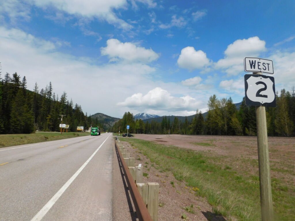
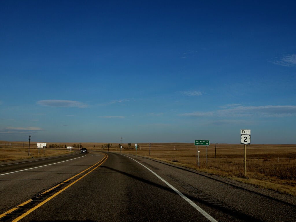
NWS Great Falls issued the warning at 10:52 p.m. MST on Friday, November 6. This is the second, stronger warning period in the same storm cycle. A first warning period runs through 9:00 a.m. MST Saturday, November 7. The warned zones are desk-mapped to two freight corridors: Interstate 15 through Toole and Pondera Counties, and U.S. Route 2 through the Glacier area. The alert text itself names no Interstate — it names the zones and counties above.
NWS states: “Damaging winds will blow down trees and power lines. Widespread power outages are expected. Travel will be difficult, especially for high profile vehicles.”
When it hits
The warning runs 5:00 a.m. to 8:00 p.m. MST Sunday. Adjacent zones — Eastern Toole and Liberty Counties, Hill County, Cascade County below 5,000 feet, and Judith Basin County and Judith Gap — are now under a High Wind Warning too, Sunday 8:00 a.m. to 8:00 p.m. MST, with west winds of 25 to 40 mph and gusts to 65 mph. The warning extends east to Northern Blaine County, Eastern Pondera and Eastern Teton Counties, Western and Central Chouteau County, and the Bears Paw Mountains and Southern Blaine, under the same Sunday 8:00 a.m. to 8:00 p.m. MST warning, with west winds of 25 to 40 mph and gusts to 65 mph.
What to do
- Time it around the window. As practical guidance, not an NWS order: if your run allows it, clear the corridor before 5:00 a.m. Sunday or hold until after 8:00 p.m., rather than crossing at midday.
- Light or empty, think hardest. An empty or light high-profile trailer catches the full side of a 90-mph gust, with isolated gusts around 100 mph. Delaying or parking in a safe place off the travel lanes is the conservative call.
- Check before you roll. NWS states no closure in this warning, and this brief claims none. Check Montana DOT traveler information before you roll, and again en route when safe — conditions can change.
What it means for your operation
This is a weekend dispatch decision, not just a Sunday one. A load that held for the first warning still faces the stronger second window on Sunday, and the return trip needs the same check. Tell the customer about a likely delay before the wind forces it.
Source: National Weather Service, Great Falls — High Wind Warning, issued November 6, 2026 (public domain). Road conditions: Montana Department of Transportation traveler information.
- Independent testing
- No sponsored rankings
- Prices verified November 2026