Reader-supported: no affiliate links active yet — our rankings can't be bought. How we rank →
High Wind Warning for I-5 Through the Shasta Valley: Gusts to 65 MPH Tuesday Afternoon Into Wednesday Morning
On this page
If you are crossing Siskiyou County on I-5 Tuesday night, the wind call is the schedule.
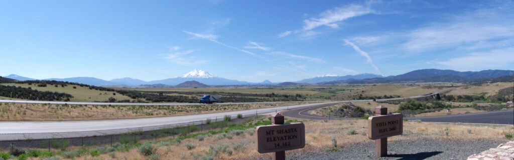
The National Weather Service in Medford issued a High Wind Warning for central Siskiyou County — most of the Shasta Valley, including portions of Interstate 5 and the communities of Weed, Gazelle, Grenada and Montague — from 4 p.m. PST Tuesday, November 17, to 7 a.m. PST Wednesday, November 18. South winds of 35 to 50 mph are expected, with gusts up to 65 mph possible.
What happened
NWS Medford issued the warning at 10:51 a.m. PST Monday, upgrading the High Wind Watch that covered the valley earlier in the day. NWS says the winds will be damaging: trees and power lines down, and widespread power outages expected. This is a new warning for Tuesday night, separate from last week’s Shasta Valley wind warning.
When it hits
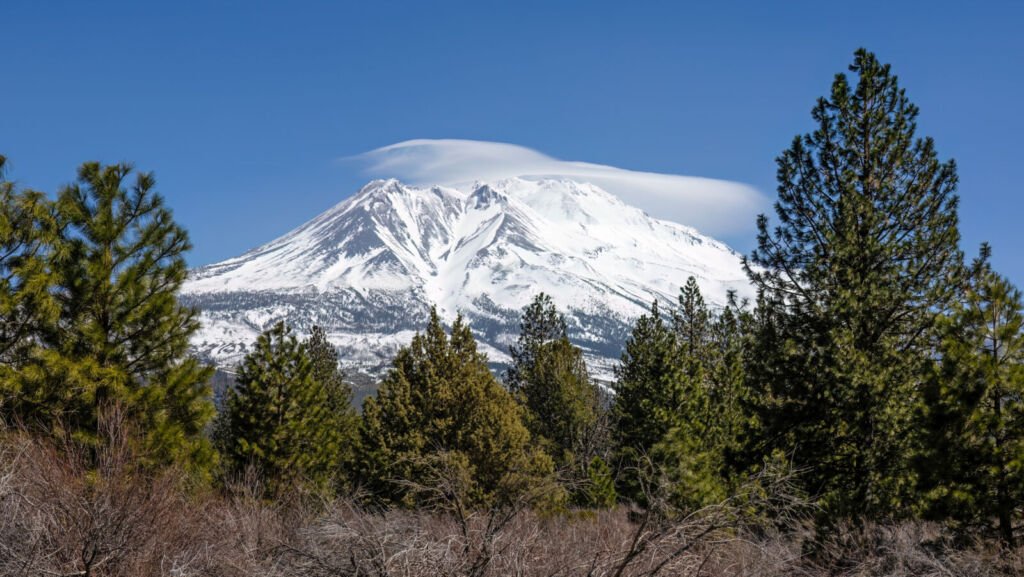
The warning runs from 4 p.m. Pacific Tuesday to 7 a.m. Pacific Wednesday — 6 p.m. Central Tuesday to 9 a.m. Central Wednesday. That puts the strongest window across Tuesday evening and the overnight hours through the valley, not just a single gusty hour.
What to do
- High-profile or light, think hardest. NWS says travel will be difficult, especially for high-profile vehicles. An empty van in a 65-mph south gust in the open Shasta Valley is the run this warning is about.
- Time the crossing. A run that can clear the Shasta Valley before 4 p.m. Pacific Tuesday, or wait until after 7 a.m. Pacific Wednesday, avoids the warning window entirely.
- Check before you roll. The warning announces no closure — but wind calls change fast. Check Caltrans QuickMap at quickmap.dot.ca.gov or dial 511 before you roll, and again before the valley.
- Secure it. NWS urges people in the warned area to secure loose objects that could be blown around or damaged by the wind — anything loose on a flatbed deck counts.
What it means for your operation
This is a Monday dispatch decision, not a Tuesday-night surprise. Loads that can cross Siskiyou County before Tuesday’s window keep their schedule; loads that cannot should be re-planned now, around the 7 a.m. Pacific Wednesday end, instead of discovering the gusts at Weed. Tell the customer about the wind window before the wind does.
Source: National Weather Service, Medford — High Wind Warning, issued November 16 (public domain). Road conditions: Caltrans QuickMap.
- Independent testing
- No sponsored rankings
- Prices verified November 2026