Reader-supported: no affiliate links active yet — our rankings can't be bought. How we rank →
Winter Storm Warning for I-80 Over Donner Summit: 1 to 3 Feet of Snow Tuesday Night Into Friday
On this page
If you are crossing Donner this week, Tuesday is your clean window — the Sierra closes in Tuesday night and stays rough into Friday morning.
The National Weather Service in Sacramento issued a Winter Storm Warning for the Sierra Nevada — including Interstate 80 and Highway 50 — from 10 p.m. PST Tuesday, November 17, to 4 a.m. PST Friday, November 20. Above 5,000 feet, NWS expects 1 to 3 feet of snow, with up to 4 feet at the highest peaks, and winds gusting as high as 55 mph.
What happened
NWS Sacramento issued the warning at 10:05 a.m. PST Monday, upgrading the Winter Storm Watch that has covered I-80 since the weekend. Between 4,000 and 5,000 feet, totals run up to a foot, and light flurries to a dusting are possible as low as 3,500 feet. NWS says travel could be very difficult to impossible Tuesday night through early Friday morning, with gusty winds bringing down tree branches and cutting visibility.
This is a new system, separate from last week’s Donner storm. A Winter Weather Advisory also covers the northern Sierra above 6,000 feet until 10 p.m. PST tonight, with additional accumulations up to 6 inches — plan on a slow crossing today, too.
When it hits
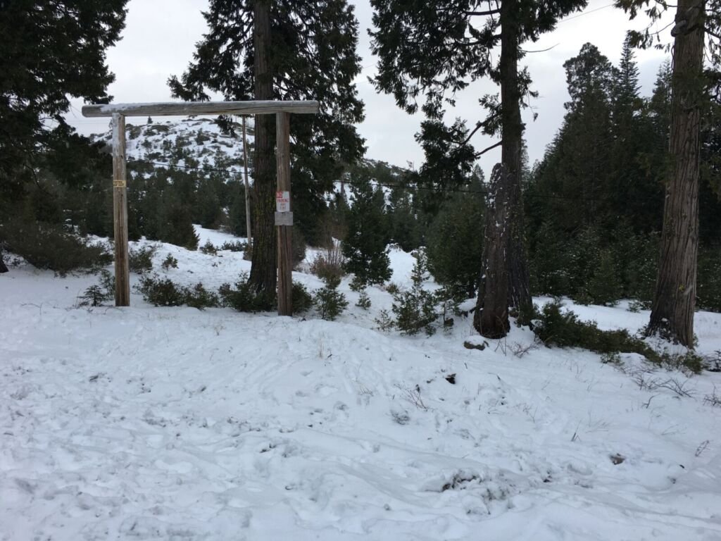
The warning runs from 10 p.m. Pacific Tuesday to 4 a.m. Pacific Friday — midnight Central Wednesday to 6 a.m. Central Friday. Snow levels start at 3,500 to 4,500 feet Tuesday night and rise to around 4,500 to 5,500 feet Wednesday. The heaviest snow is expected Wednesday morning into the afternoon, falling at 1 to 2 or more inches per hour.
What to do
- Cross Tuesday, or plan around Friday. A load that clears Donner before Tuesday night keeps its schedule. One that cannot should be re-planned now, not at the chain-control line.
- Check Caltrans before you roll. The warning announces no closure and no chain control — but Sierra controls change fast. Check Caltrans QuickMap at quickmap.dot.ca.gov or dial 511, and check again before the climb.
- Expect the Wednesday peak. If a crossing has to happen inside the window, Wednesday morning into the afternoon is the worst of it — the heaviest rates and the lowest visibility.
What it means for your operation
This is a three-day Sierra window, not a one-night delay. Dispatches for Wednesday and Thursday over Donner need a decision today: cross early Tuesday, hold for Friday, or reroute — and the customer should hear it from you before the snow does. Watch for NWS updates; a storm this size can tighten or ease as Wednesday nears.
Source: National Weather Service, Sacramento — Winter Storm Warning, issued November 16 (public domain). Road conditions: Caltrans QuickMap.
- Independent testing
- No sponsored rankings
- Prices verified November 2026